

S&EC News
Friendship Chapel Road Extension Flood Study
S&EC analyzed the proposed Friendship Chapel Road Extension project and performing a comprehensive flood study to determine water surface elevations and floodplain boundary mapping for a multi-culvert road crossing of Dunn Creek within the Town of Wake Forest, North Carolina.

E. Geer Street Stream & Buffer Restoration Project
S&EC prepared restoration design plans for approximately 450 linear feet of piedmont stream and approximately 0.1 acres of riparian wetlands that were inadvertently impacted as a result of development activities on a property in Durham County, NC.

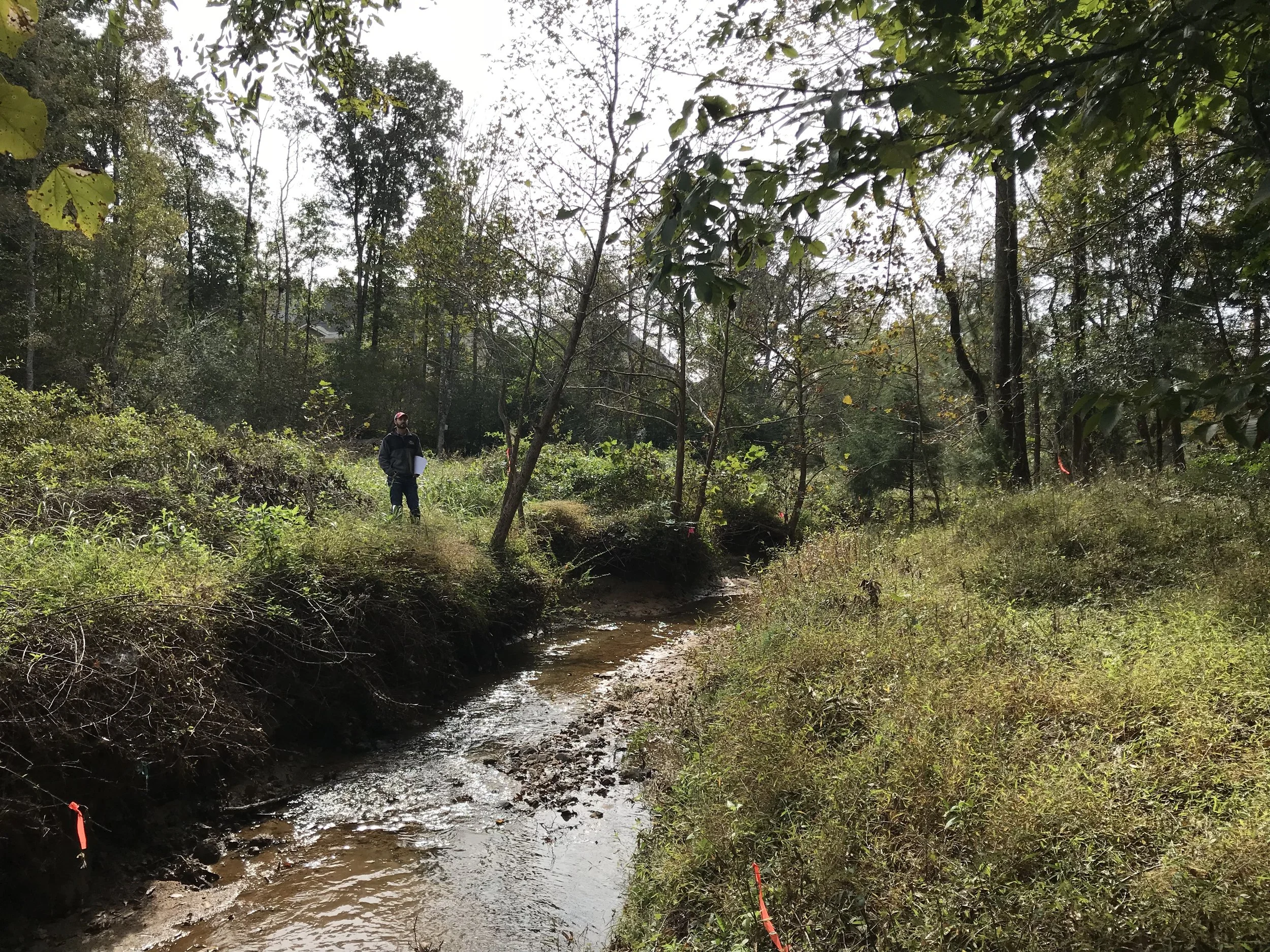
Lewtershop Road Stream & Wetland Restoration Project
S&EC prepared restoration design plans for approximately 550 linear feet of piedmont stream and approximately 0.5 acres of riparian wetlands in Chatham County, NC, that were inadvertently impacted as a result of development activities on an adjacent property.

Cross Creek Bank Repair & Stabilization Project
S&EC prepared repair and stabilization design plans for approximately 425 linear feet streambank along Cross Creek which failed during a hurricane event. The failure the stream bank, and an almost 50 foot high upper slope, is located immediately adjacent to the historic Cross Creek Cemetery in Fayetteville, NC.


Olive Ridge Greenway/Boardwalk Flood Study
S&EC performed hydraulic analysis for the proposed Olive Ridge Subdivision Greenway/Boardwalk project by performing a comprehensive flood study to determine water surface elevations and floodplain mapping for a planned community greenway project within the Town of Apex, North Carolina.